Mapper
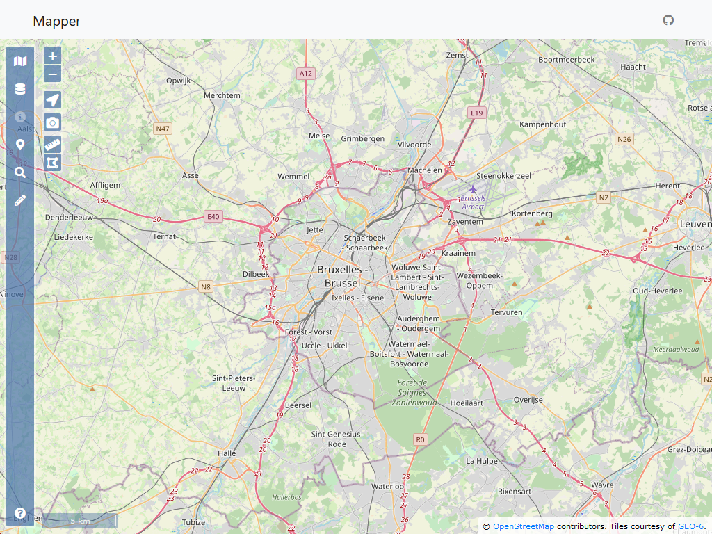
For more than 10 years, we have been offering our clients the possibility to visualize and query their cartographic data in an easy and intuitive way using a web application. We call this application Mapper.
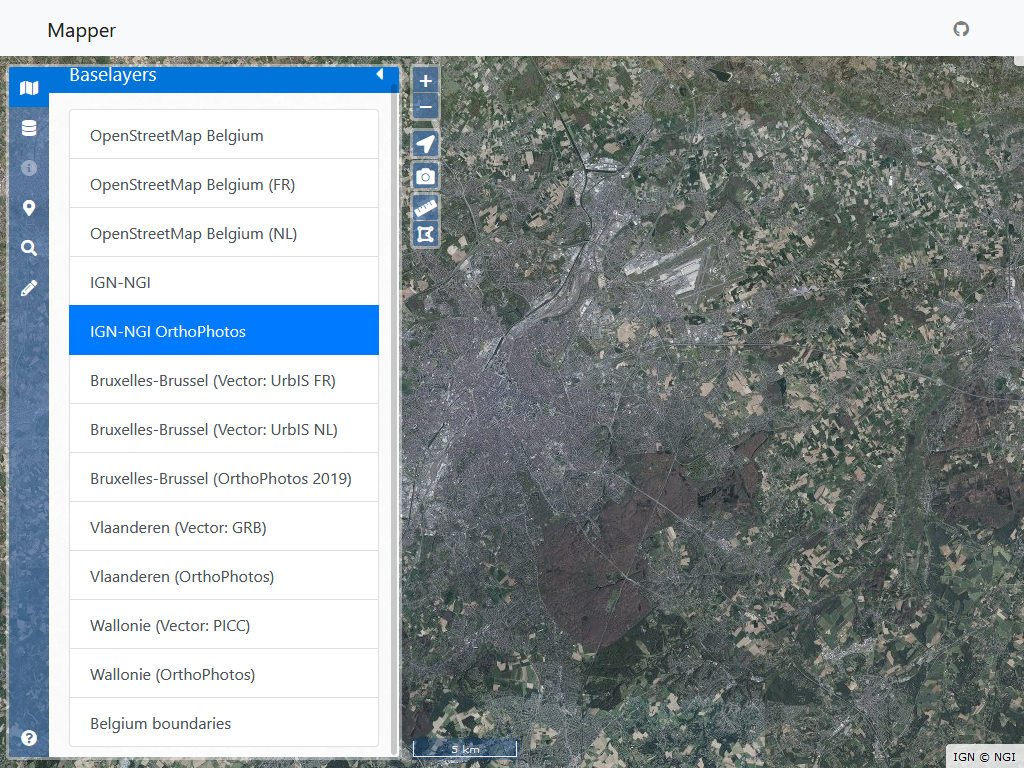
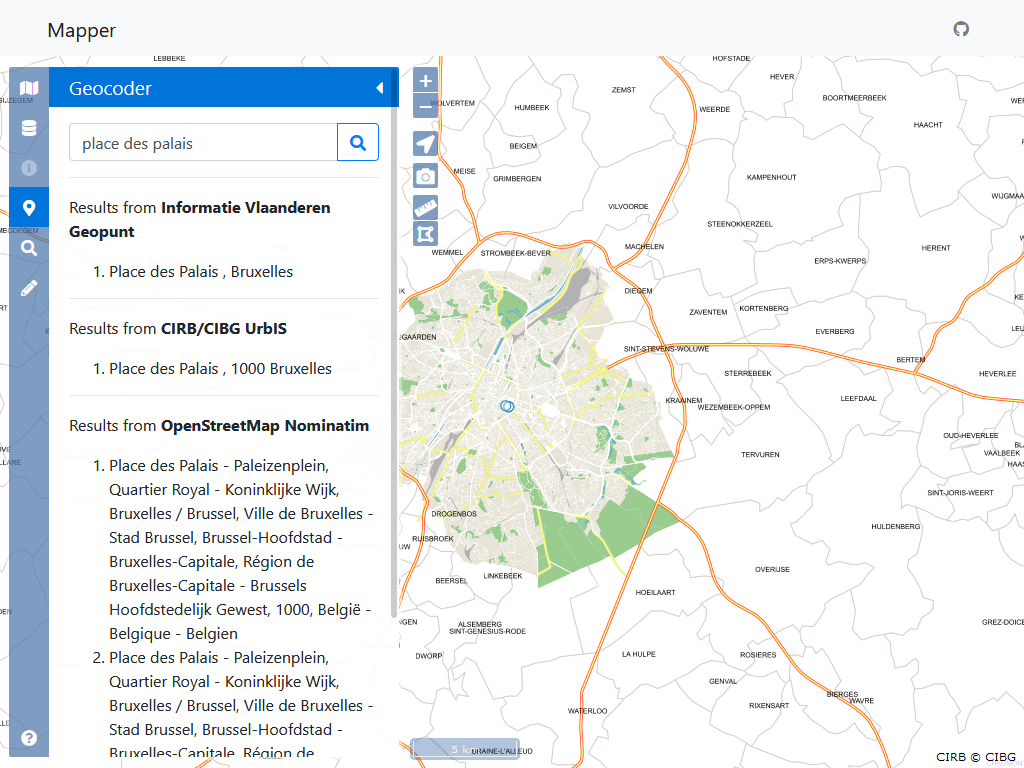
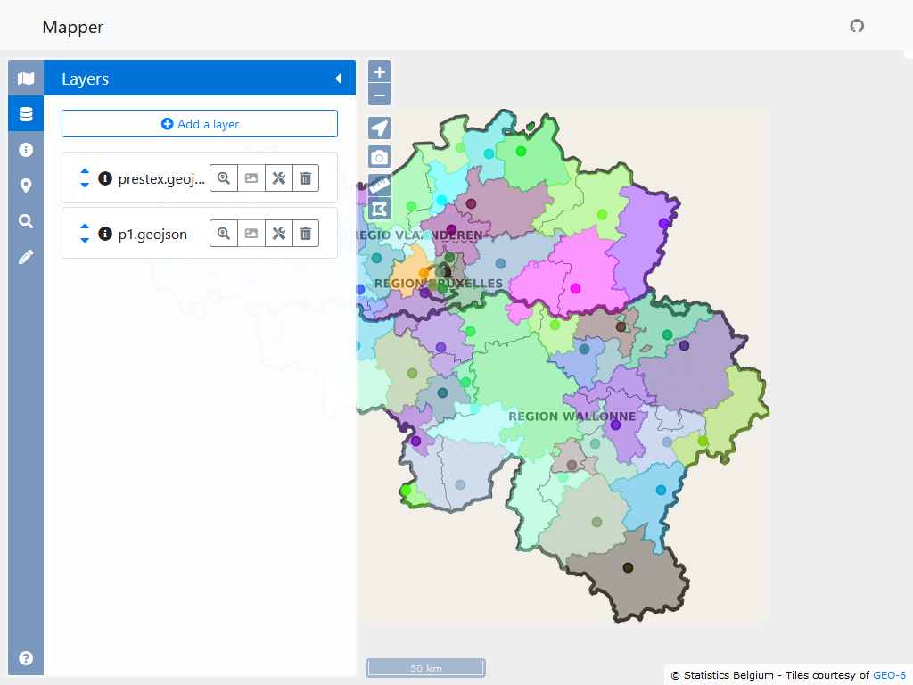
The application allows you to load, view and query layers from files containing cartographic data (GeoJSON, KML, GPX, CSV, …) as well as from cartographic services available on the Internet (WMS, WMTS, …). It also allows to choose a background map from a configurable list of background maps (OpenStreetMap, aerial photos, IGN, UrbIS, GRB, PICC, or any other tile server), to search for an address (using various geocoding services, also configurable or by clicking in the map), to draw, to measure distances and surfaces, …
You can test the application in our “sandbox”: https://sandbox.geo6.be/app/mapper/
You can also participate in the development of the Mapper, the source code of the application is open and available on GitHub: https://github.com/geo6/mapper